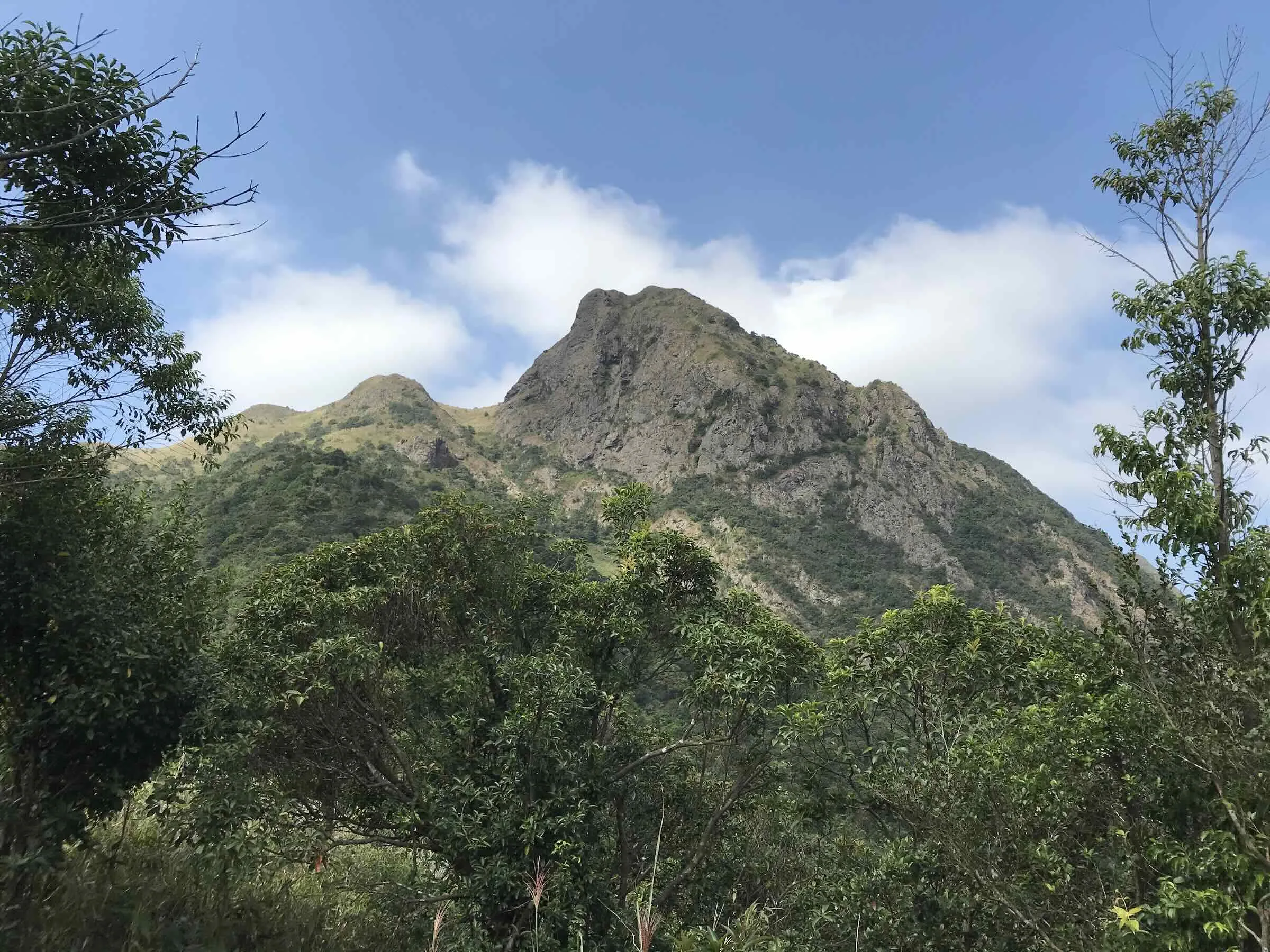
Hiking is one of the most popular activities in Hong Kong, and as mentioned in this article, there is a wide variety of trails with different difficulty levels. In this post, I’ll introduce the four long-distance hiking routes known as Hong Kong’s “Big Four Trails.”
While experienced hikers and runners often complete these trails in one go, beginners can also take them on section by section. If you’ve started getting comfortable with shorter hikes, these are definitely worth trying next.
Hong Kong Trail (港島徑)
Overview
Distance: 50km
Elevation gain: 3,031m
Sections: 8
This trail runs across Hong Kong Island from west to east and is sometimes nicknamed “Cross Frog.” The name comes from the idea of “crossing” the island, which is said to resemble the shape of a frog.
Starting from The Peak, the route passes through five country parks—Lung Fu Shan, Pok Fu Lam, Aberdeen, Tai Tam, and Shek O—before finishing at Big Wave Bay. In total, it stretches 50km.
Compared to the other long trails, both the distance and elevation gain are relatively moderate, making it a great first long trail to try.
Another advantage is accessibility—since the trail intersects with major roads at several points, you can easily stop whenever you feel like you’ve had enough for the day.
It’s divided into 8 sections, so you can take it on one section at a time.
Sections
| Section | Route | Distance (km) | Time (hr) | Difficulty | Marker |
| 1 | The Peak → Pok Fu Lam Reservoir | 7.0 | 2.0 | ★★☆☆☆ | H001-014 |
| 2 | Pok Fu Lam Reservoir → Peel Rise | 4.5 | 1.5 | ★★☆☆☆ | H015-025 |
| 3 | Peel Rise → Wan Chai Gap | 6.5 | 1.75 | ★★☆☆☆ | H026-037 |
| 4 | Wan Chai Gap → Wong Nai Chung Gap Road | 7.5 | 2.0 | ★★★☆☆ | H038-050 |
| 5 | Wong Nai Chung Gap Road → Mount Parker Road | 4.0 | 1.5 | ★★★☆☆ | H051-059 |
| 6 | Mount Parker Road → Tai Tam Road | 4.5 | 1.5 | ★★☆☆☆ | H060-067 |
| 7 | Tai Tam Road → To Tei Wan | 7.5 | 2.0 | ★★☆☆☆ | H068-83 |
| 8 | To Tei Wan → Tai Long Wan (Big Wave Bay) | 8.5 | 2.75 | ★★★☆☆ | H084-100 |
Highlights
Aberdeen — Section 2

Jardine’s Lookout — Section 5


Tai Tam Reservoir — Section 6

Dragon’s Back & Big Wave Bay — Section 7


You’ll find that much of the trail is paved, and compared to other areas, there’s slightly less untouched nature. Still, it’s an approachable long trail and gives you a real sense of accomplishment once you complete it—especially if you’re starting to feel more confident with hiking.
MacLehose Trail (麥理浩徑)
Overview
Distance: 100km
Elevation gain: 6,189m
Sections: 10
The MacLehose Trail is the longest—and also the most physically demanding—trail in Hong Kong.
The first half takes you through the nature-rich Sai Kung area, passing along both coastline and forested mountains. The second half heads west, crossing several peaks around Tai Mo Shan—the highest mountain in Hong Kong—before finishing in Tuen Mun.
It’s also used as the course for the HK100 Ultra Marathon, which explains why it’s popular among trail runners as well.
Sections
| Section | Route | Distance (km) | Time (hr) | Difficulty | Marker |
| 1 | Pak Tam Chung → Long Ke | 10.6 | 2.5 | ★★★☆☆ | M000-020 |
| 2 | Long Ke → Pak Tam Au | 13.5 | 4.0 | ★★★★★ | M021-048 |
| 3 | Pak Tam Au → Kei Ling Ha | 9 | 2.5 | ★★★★☆ | M049-068 |
| 4 | Kei Ling Ha → Tai Lo Shan | 12.7 | 4.0 | ★★★★★ | M069-093 |
| 5 | Tai Lo Shan → Tai Po Road | 10.6 | 2.5 | ★★★★☆ | M094-115 |
| 6 | Tai Po Road → Shing Mun | 4.6 | 1.0 | ★★☆☆☆ | M116-123 |
| 7 | Shing Mun → Lead Mine Pass | 6.2 | 2.5 | ★★★★☆ | M124-136 |
| 8 | Lead Mine Pass → Route Twisk | 9.7 | 4.0 | ★★★★☆ | M137-155 |
| 9 | Route Twisk → Tin Fu Tsai | 6.3 | 2.5 | ★★☆☆☆ | M156-168 |
| 10 | Tin Fu Tsai → Tuen Mun Town | 15.6 | 4.0 | ★★★★☆ | M169-200 |
Highlights
Long Ke — Sections 1–2

Sai Wan Beach — Section 2

Ma On Shan & Ngong Ping Viewing Point — Section 4


Lion Rock — Section 5

Needle Hill & Yin Ngan Peak — Sections 7–8


Reservoir Islands Viewpoint — Section 10

MacLehose Trail finish point

I also split this trail into four parts (Sections 1–3, 4–5, 6–8, and 9–10). No matter which section you choose, you’ll experience nature that feels far removed from the busy city life of Hong Kong. If you ever need a break from the noise, even tackling just a part of this trail is well worth it.
Summary
Each of these four trails varies in distance and difficulty, but all of them offer their own highlights and completely different landscapes.
Once you feel comfortable with hiking, why not aim to complete all four?
Leave a Reply